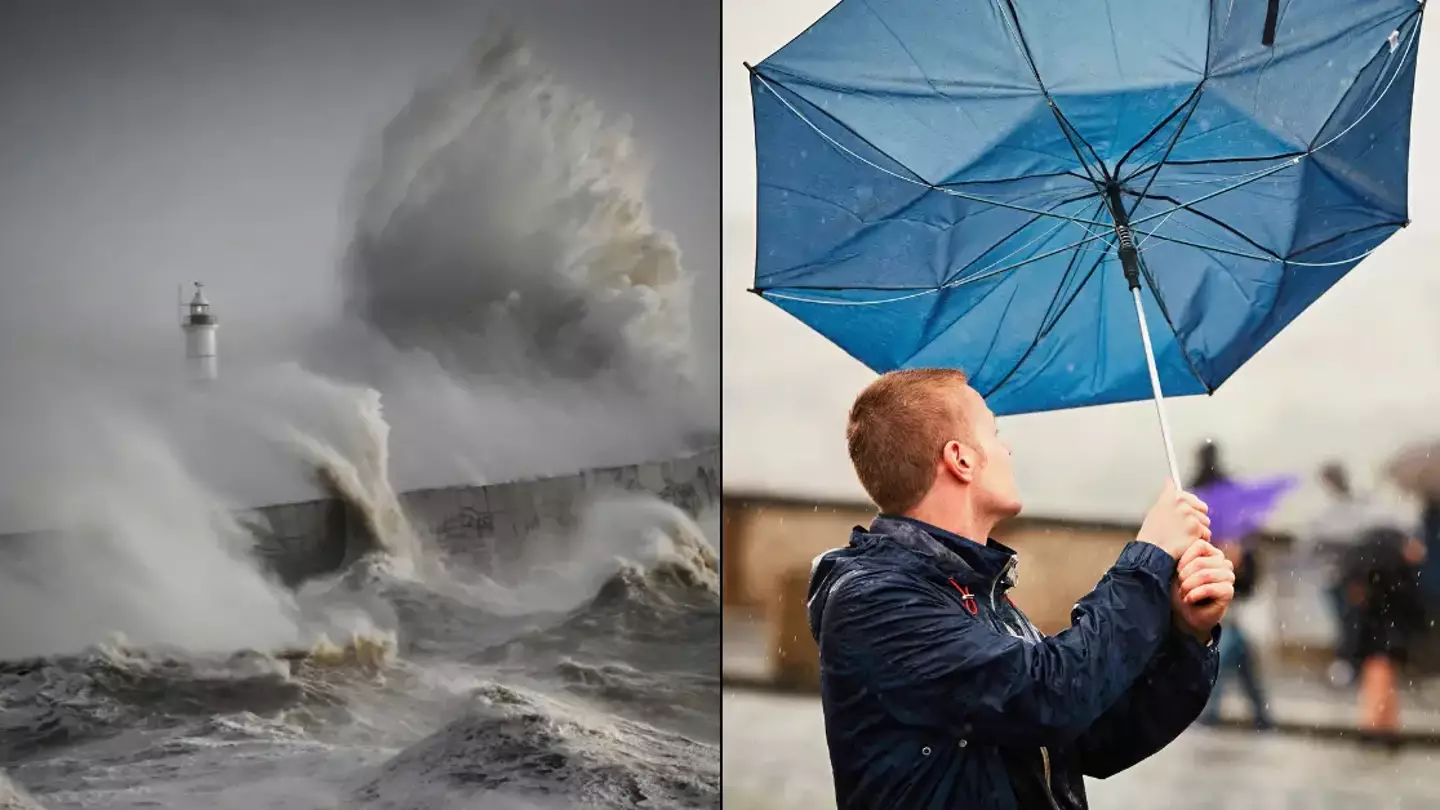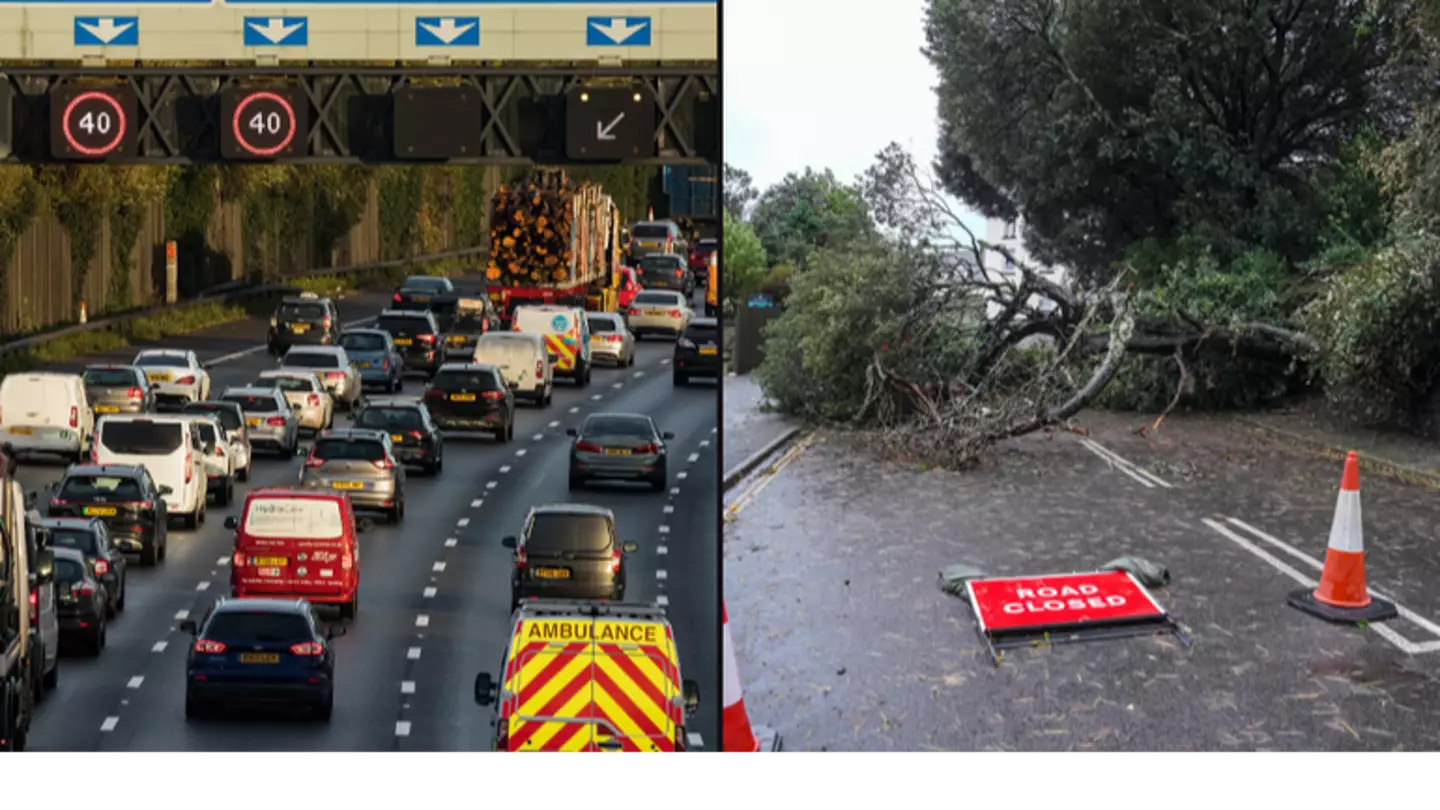
A red ‘danger to life’ weather warning was issued to around three million homes last night (6 December), urging people to keep indoors amid the conditions.
“The storm may damage infrastructure causing power cuts and disruption to mobile phone coverage,” the message issued by mobile phone read.
“Consider gathering torches, batteries, a mobile phone power pack and other essential items you already have at home.”
.webp)
“Extremely strong winds associated with Storm Darragh are expected to cause significant disruption from 3.00am on Saturday 07 December 2024,” it added.
“Strong winds can cause flying debris, falling trees and large waves around coastal areas, all of which can present a danger to life. Stay indoors if you can. It is not safe to drive in these conditions.”
As a result, National Grid has confirmed that more than 55,000 customers have no power supply across the South West, South Wales, and the West Midlands due to Storm Darragh. It’s said the majority of these were in South Wales, although around 376,000 customers have had their power restored by its teams since the start of the storm.
Business Secretary Jonathan Reynolds said it remains a ‘challenging situation’.
“About three million homes will have had the emergency alert system to their mobile phone. I would just encourage anyone who has had that to follow the advice,” he told Sky News.
Reynolds said National Grid staff ‘will be on standby for any further challenges throughout the rest of the day’.

Thousands are left without power amid the 93mph winds (Brian Lawless/PA Wire)
He added: “Where you can, stay inside, don’t put yourself at risk, and just follow the advice at all times.”
Air traffic control (ATC) provider Nats has also said temporary air traffic restrictions are in place at Heathrow and Gatwick.
A spokesman said: “Due to Storm Darragh today temporary air traffic restrictions are in place. Restrictions of this sort are only ever applied to maintain safety.
“We are monitoring closely and our Met Office expert embedded within our operation is ensuring we have the latest available information.
“Our teams are working closely with airports and airlines to minimise disruption.
“Passengers should check the status of their flight with their airline.”
National Rail has announced that there will be ‘significant disruption’ across their network today, with cancellations and delayed services expected.
Meanwhile, today’s Premier League fixture between Everton and Liverpool has been called off due to the weather.
By 6am on Sunday (8 December), all weather warnings are likely to have been lifted.
Thousands were left without power on Saturday (23 November) with more than 200 flood alerts put in place for England, Wales and Scotland overnight.
After a combination of heavy rain and snow battered the country over the weekend, the Met Office has issued yellow weather warnings across the country on Sunday (24 November).
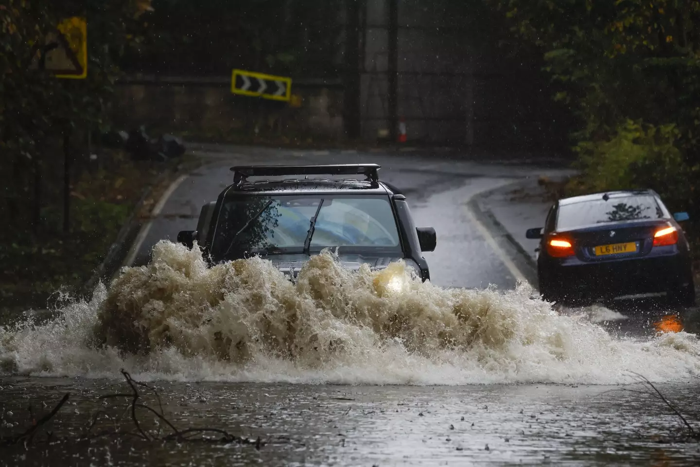
Three men have died on the roads during Storm Bert (Jeff J Mitchell/Getty Images)
Hampshire Police said a man in his 60s died, after a tree fell on a car on the A34 near Winchester at around 7.47am on Saturday, to the southbound carriageway between Kings Worthy and Winnall.
They found the driver of a black Mercedes E350 dead at the scene.
Officers are investigating whether the incident was linked to the storm.
Two other fatal collisions also happened while the storm took hold in England, and it remains unclear if both incidents were linked to the storm.
A 34-year-old man died in a single-vehicle collision in the early hours of Saturday, on Moorhead Lane in Shipley, West Yorkshire Police said.
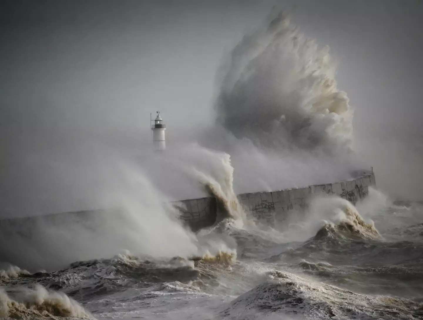
Multiple weather warnings are in place across the UK (Getty Stock Images)
Officers found a blue Renault Captur, which had been travelling towards Saltaire, had collided with a wall.
Meanwhile, a man in his 40s died in a crash on the A45 near Flore in Northamptonshire.
Northamptonshire Police said the collision on Saturday morning, involved a silver Toyota Corolla and a dark grey Hyundai i30 Active.
Today, the Met Office has issued yellow weather warnings, suggesting that the weather is likely to ’cause some low level impacts, including some disruption to travel in a few places’.
Milder temperatures are also causing the snow which covered the north of England and much of Scotland to melt.
However, the weather service noted that Storm Bert is likely to cause ‘dangerous coastal conditions’ across southern England and parts of Wales until 9pm on Sunday.
“Flooding of roads and low lying land is possible, property flooding is not expected. Flooding is possible from 5:00 PM on 22/11/2024 and will affect locations near the River Gowy.
“Further heavy rainfall is forecast, levels will continue to rise and remain high all weekend. Avoid using low lying footpaths and any bridges near local watercourses.”
Last night the Energy Secretary, Ed Miliband, tweeted: “My thoughts are with all those affected by Storm Bert.
“For those who have lost power, my department will be keeping in close touch with the energy companies as they seek to ensure it is restored as swiftly as possible and help those affected.”
The red weather warning is used when experts want to get the word out that incoming weather poses a serious ‘danger to life’, and that’s just what they’ve done for Storm Darragh.
Beyond the areas affected by the red weather warning, amber and yellow weather warnings are also in place over many other parts of the UK as high winds from the oncoming storm are expected to cause damage and disruption.
In the worst affected places, winds of 70 to 80mph are forecast, and things could get as bad as 90mph.
Met Office Chief Forecaster, Jason Kelly, said: “The worst impacts from Storm Darragh will be felt as we go through the early hours of tomorrow (7 December) morning and throughout Saturday with, in addition to the broad yellow warning, red and amber wind warnings in place from 1 am tomorrow.
“Although there is a lower likelihood of impacts outside of the red and amber warning areas this doesn’t mean you won’t see them.
“We are likely to see impacts across the whole of the country and people should keep an eye on the latest forecast details and prepare for the bad weather, especially if planning to be out and about on Saturday.
“Some areas are likely to have a relatively quiet start to Saturday, weather-wise, but winds will quickly increase from the west through the day.”

People’s homes could be damaged, while there is also a risk of power cuts and a possible disruption of mobile coverage, the publication adds.
Anybody planning journeys in areas covered by the weather warnings ought to prepare for cancellations and delays as roads, bridges and railway lines could be closed.
If you are going to drive, then heed the advice of National Highways duty manager Dale Hipkiss, who said: “If you’re planning to drive over the next few days, prepare in advance for the journey and take extra care on the roads.
“If weather conditions become challenging, adjust your driving behaviour to manage the conditions as safely as possible.
“It’s also a good idea for drivers to check their vehicles, such as tyres, coolant and oil levels, before heading out to reduce the risk of breakdowns.”
It sounds like if you can avoid travelling then you should.
The high winds of Storm Darragh are expected to be followed by a wave of cold weather, so the UK will need to prepare for next week to bring overnight frosts.
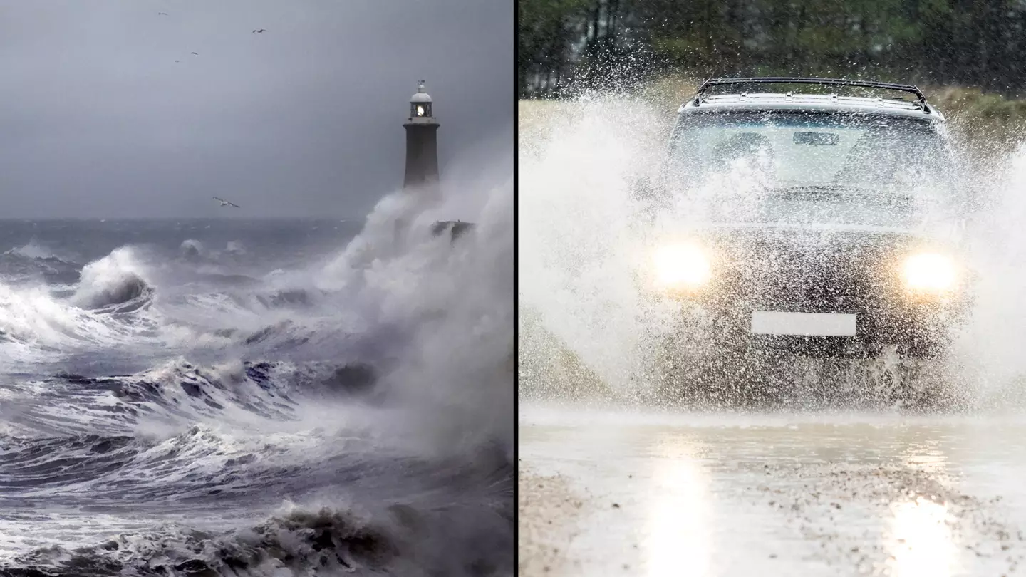
As rhe first named storm of the season, Ashley is making its way towards the UK with gusty 80mph winds.
Yep, just as you thought you were being treated to some nice and crisp October sun, this country just continues to violently remind you where you are.
So, if you’ve got some nice weather this evening, you’d better make the most of it, as things are going to take a turn tomorrow (20 October).
The Met Office has put out Amber and Yellow warnings ahead of Storm Ashley for the remainder of this autumn weekend.

Well, looks like it’s storm season. (Getty Stock Photos)
The Amber warning is in place for the north-west of Scotland from 9am on Sunday right through until midnight.
It says: “Storm Ashley will bring a spell of very strong winds, probably causing some disruption on Sunday.”
The strongest winds are expected in this Amber area with parts of western Scotland set to experience ‘gusts of 70-80 mph at times on Sunday afternoon, before winds ease through the evening and overnight’.
“The winds coincide with high spring tides and large waves which may lead to a greater risk of disruption along coasts,” the Met Office explains.
It also warns that ‘injuries and danger to life’ are likely due to ‘large waves and beach material being thrown onto coastal roads, sea fronts and properties’.
Plus, there is a ‘good chance’ of power cuts in the area and ‘probably’ damage to buildings.
Those in the areas are advised to prepare for roads and bridges to close as journey times are set to be longer and services likely to be cancelled.

Travel is likely to be impacted. (Getty Stock Photos)
The Yellow warning is in place for all of Scotland and Northern Ireland, as well as parts of north-west England and Wales, set from 3am until midnight.
“Storm Ashley will bring a windy period across the whole of the UK on Sunday and into Monday, and there is an increased chance of disruption across parts of Scotland, Northern Ireland, northwest England and northwest Wales,” the Met Office says.
As the winds develop, there are gusts of 50-60 mph possible in some inland areas and perhaps up to 60-70 mph along exposed coasts and hills.
This Yellow warning also comes with the same ‘danger to life’ in coastal areas and the same warning of power cuts, damage to buildings and impact on travel.
Stay safe out there tomorrow, lads.
And if you’re planning to travel home for Christmas today, be careful.
The Met Office has issued a yellow weather warning meaning that travel disruption is likely and power cuts are possible from midnight to 9pm on Thursday (21 December).
Met Office
Stephen Dixon, a Met Office spokesperson, said: “It is quite a wide wind warning area. Gusts are forecast quite widely to be 45-55mph, possibly 65-70mph to the east of high ground in Scotland.
“The strongest winds are likely to be found in the north and north east of Scotland including the Northern Isles, with 70-80mph in the morning.”
The warning also covers Belfast, Newcastle upon Tyne and Manchester.
Train operator TransPennine Express (TPE) has asked customers to delay their journeys, whilst the Police Service of Northern Ireland has warned drivers to be aware of falling trees and debris.

A statement said: “Road users are advised of potential traffic disruption this morning, Thursday 21st December, caused by fallen trees and debris in some areas across Northern Ireland.
“Officers have been assisting with traffic control whilst local roads are being cleared of any obstructions, and we thank you for your patience as we continue to do so.”
Schools in Shetland will be closed on Thursday and more electricity network engineers are being brought in to deal with any power cuts.
Kathryn O’Brien, customer experience and operations director for TPE, said: “Our number one priority is to keep our customers and colleagues safe, and we will be doing all we can to keep people moving in difficult conditions.
“We are urging anyone travelling across the affected routes to plan ahead, allow extra time, check their journey up until the last minute, and follow the guidance provided.”

Met Office Chief Meteorologist, Paul Gundersen, explained: “We’ve issued a large yellow warning area where there’s a potential for some impacts, but gusts of 50-60mph are possible for large parts of central and northern areas of the UK.
“Exposed coasts and high ground could see gusts of 70-80mph at times, mainly across the far north of Scotland. There’s a chance this low pressure will continue to exert its influence into Friday, so it’s important to stay up to date with the latest Met Office forecast.
